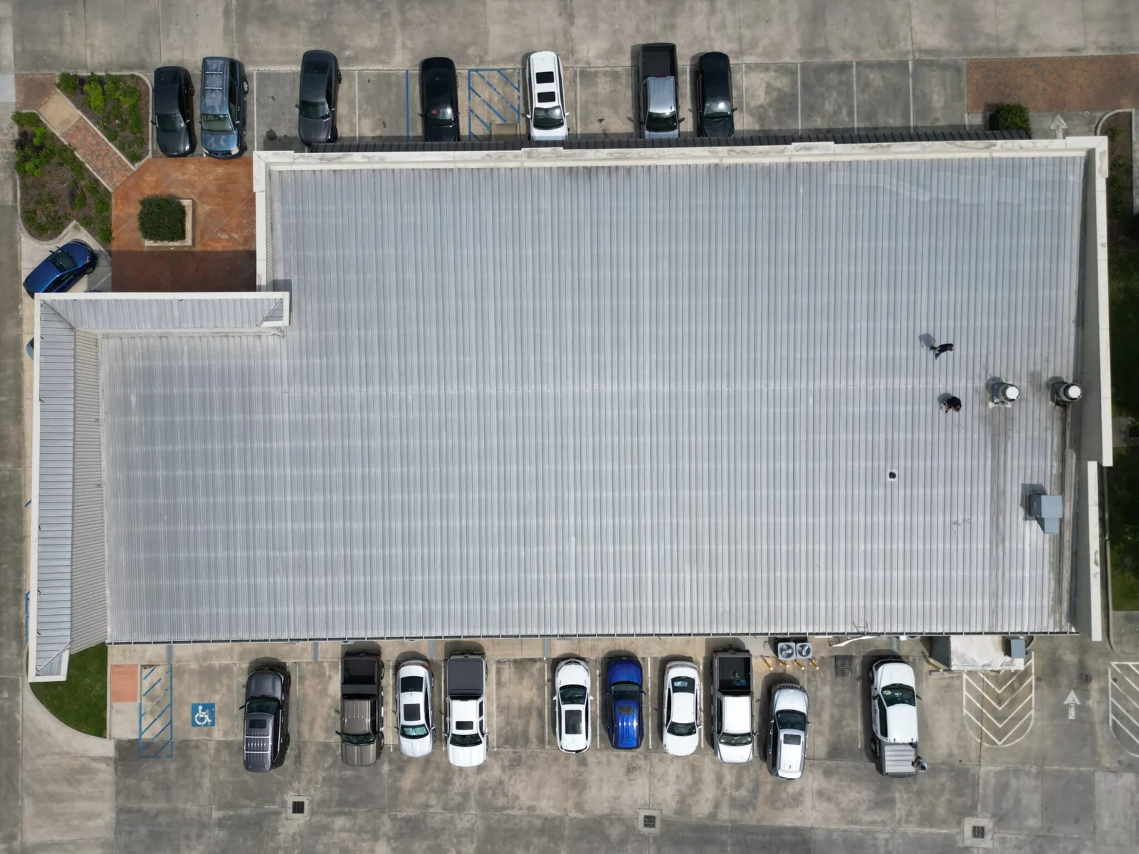
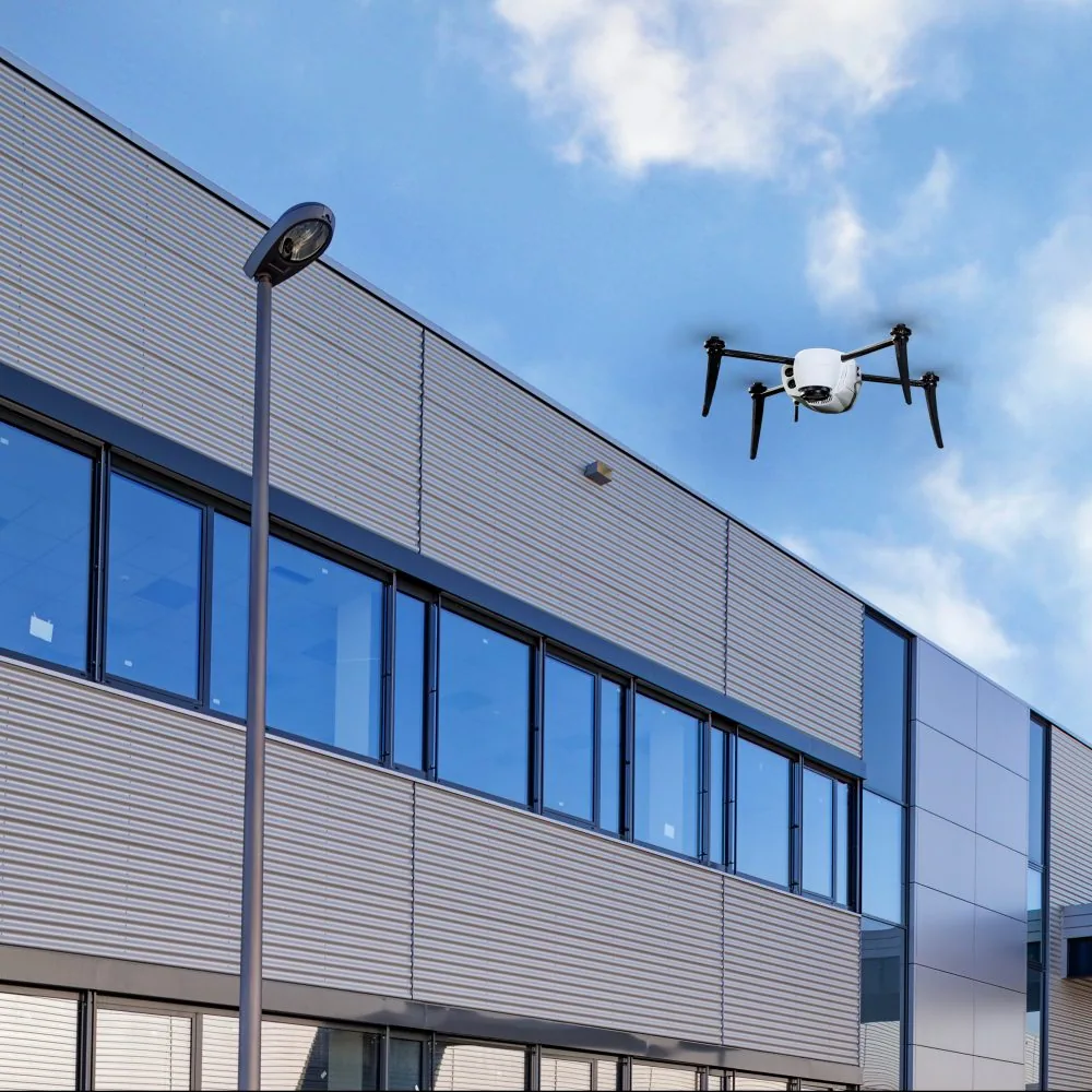
On a July afternoon with the deck pushing past 100 F, nobody wants a crew crossing a long roof twice. A facility director with a wide building calls and asks if there is a faster way to see it. We ask what they need to find and what the access looks like, because a drone is the right first look for some questions and the wrong tool for others. In Yakima, WA the answer often depends on how large the roof is, how steep it is, and whether the surface is safe to walk. Where a flight serves the job, the building gets a complete overhead record with no one on a hot or loaded deck.
Decide What the Flight Has to Answer
Before a drone leaves the case we write down the questions. Is the owner looking for ponding, failed seams, missing fasteners, displaced edge metal or storm damage? Is a baseline needed for a sale, an insurance file or a capital plan? The questions shape the flight: altitude, overlap and camera angle all change with the target. A ponding survey wants low-angle light and a long shadow. A fastener check wants a close, high-resolution pass.
We also decide where the drone stops and the crew begins. Suspect areas found from the air are marked on the roof plan and verified by hand, with a probe or a moisture reading. Imagery narrows the search, and the follow-up visit confirms each finding. A hands-on inspection is the tool for that second step.
Fly in the Hours That Show the Most
Light and temperature change what a camera sees. Early morning flights avoid the shimmer that builds off a dark roof in afternoon heat, and low sun makes depressions and ridges easier to read. Yakima sees about 40 afternoons a year at or above 90 F, so summer flights start early, while winter flights wait for the snow to clear if the goal is to read the membrane.
Wind limits the work too. A late-November 2019 windstorm gusted to 51 mph in Yakima, 53 mph in Sunnyside and 52 mph at Terrace Heights, and no drone flies in that. We watch the forecast and move the flight to the first calm morning rather than fly at the edge of the aircraft's limits and produce blurred, unusable images.
Temperature swings matter as well. Yakima's daily range is large, so a roof that is cold and damp at dawn can be hot and dry by lunch. We choose the flight hour to match the question: early for surface texture and low spots, later in the morning when a thermal camera is part of the plan and the sun has started to load the roof.
Cover Long Roofs Without Walking Them Twice
Fruit packing, cold storage and processing buildings dominate the valley's industrial stock, and the retail roofs of Union Gap add more flat ground along U.S. 97 and I-82. When a single owner holds several warehouse roofs or one long building, a drone covers a lot of ground in one flight. The pilot flies a grid with overlapping images, and the software stitches them into one orthomosaic that can be zoomed to the individual seam, so a defect is located by its place on the plan instead of a verbal description.
For a distribution center with a long run of rooftop equipment, the imagery shows a pattern across the whole building at once, where a walk shows one spot at a time. That difference lets an asset manager see that the same flashing failure repeats on five curbs rather than one, and it lets a capital planner price a single corrective detail instead of five separate repairs. Edge metal, coping joints and drain locations are visible in the same set, so one flight feeds several decisions.
Reach What Is Unsafe or Out of Reach
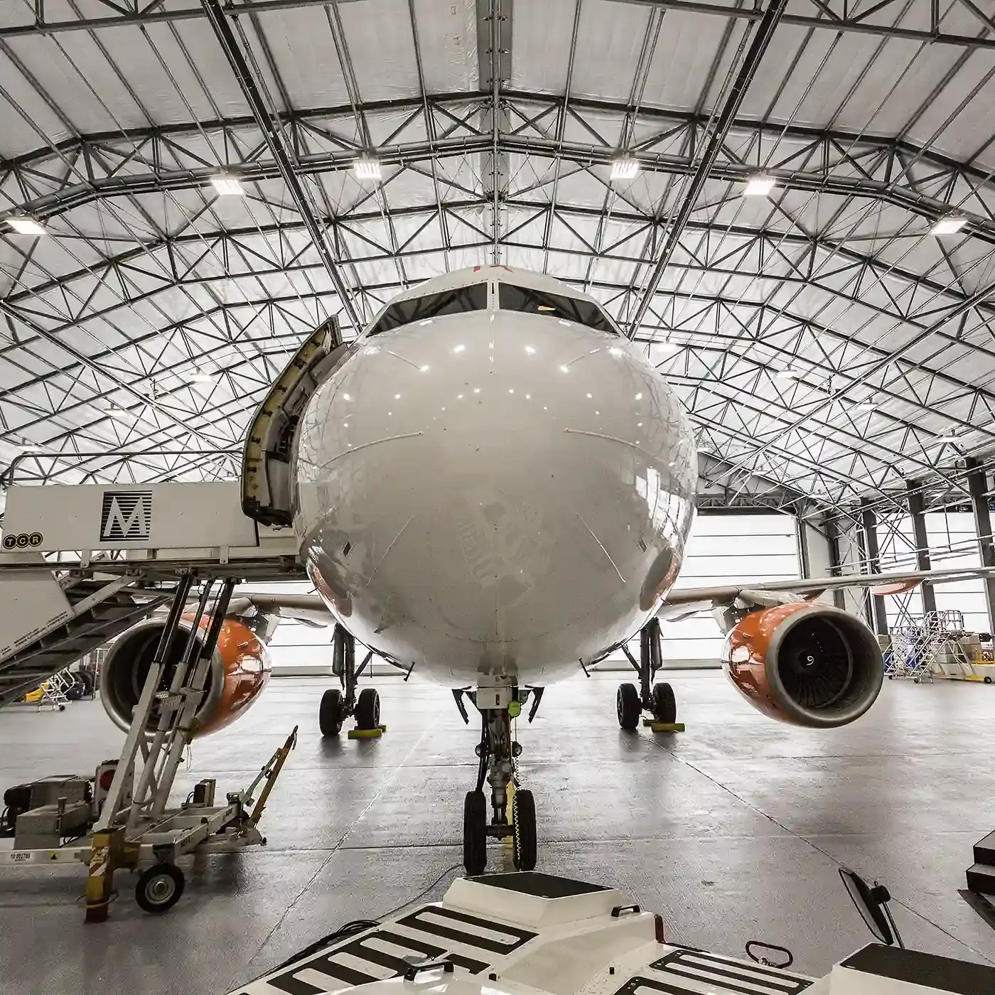
A drone earns its place on roofs we would rather not walk: fragile deck, steep standing-seam panels, areas where heavy snow or ice remains, and sections that sit above equipment or processing lines. Hangars at the Yakima Air Terminal are one example. The airport covers about 825 acres and sits about three miles south of the city, with hangar leasing through McCormick Air Center, so a flight plan there starts with the airspace. We confirm the authorizations and the flight window with the airport before the drone goes up, and we coordinate with the hangar tenants so the flight does not interfere with aircraft movements. For the building type itself, the roof questions on aircraft hangar roofing are mostly about long spans, door-header flashing and the edges.
Photograph the Roof After a Gale or a Heavy Snow
After a gust or a snowfall, a drone gets an owner a fast first look at a large roof with no one on it. In suburbs such as Terrace Heights, where the population grew from 6,937 in 2010 to 9,244 in 2020 and newer commercial roofs are being added, a post-storm flight gives a clean record of condition for each building. The images date the event, show displaced flashings or lifted edges, and give the claim file a clear visual of what changed.
Turn Images into a Repair List
The deliverable is a set of annotated images placed on the roof plan, with each finding numbered, described and ranked. We pair it with ground verification where the imagery is not conclusive, such as a suspicious stain that needs a moisture probe or an infrared survey to confirm. The result flows into the condition report that a facilities director uses to schedule repairs and set a budget. If the drone data shows the roof is in good shape, that goes in the report too, and the flight becomes a dated baseline for the next one.
Commercial Roofing Questions
When is a drone flight enough, and when does someone still need to walk the roof?
A flight is enough for an overall condition record, a storm check, or a baseline for a large and uniform roof. A walk is needed once the imagery points to a suspicious area, because moisture, soft spots and seam adhesion cannot be judged from above. We use the flight to narrow the search and send a crew to the spots that matter.
Can you fly near the airport or the Army training area?
Near the Yakima Air Terminal we confirm airspace authorization and coordinate the flight window before launch, because aircraft movements come first. Federal and military properties have their own restrictions, and we request clearance through the proper channel before planning a flight. If clearance is not granted, we switch to a ground-based inspection and note it in the scope.
Does a drone replace the infrared survey?
No. A visual flight shows surface conditions. A thermal survey shows temperature patterns that point to moisture, and core cuts confirm what the readings suggest. Many projects use all three in sequence, starting with the flight to define the area and then adding the survey where the visual record raises a question.
How soon after a storm can you get images?
As soon as the wind drops below flight limits and the airspace is clear, usually the first calm morning. After a gale, that means we might wait a day. After snow, we prefer to fly once enough has melted to show the membrane, unless the goal is to document the load pattern on the snow itself.
What do I need to provide before the flight?
The address, the access contact, and a roof plan or drawing if one exists. If you know of stains, past leaks or earlier repairs, send those locations too, since we fly those areas at a lower altitude. We also ask about nearby sensitive areas, such as aircraft operations, so the pilot can schedule around them.